
Drone technology to become an integral part of the government system

Chandigarh, August 3:- Drone technology is going to become an integral part of good governance in Haryana. Artificial Intelligence based surveillance and high-resolution geospatial mapping will be used for effective monitoring of illegal construction, illegal mining, civil infrastructure, legacy waste sites and pollution in the state.
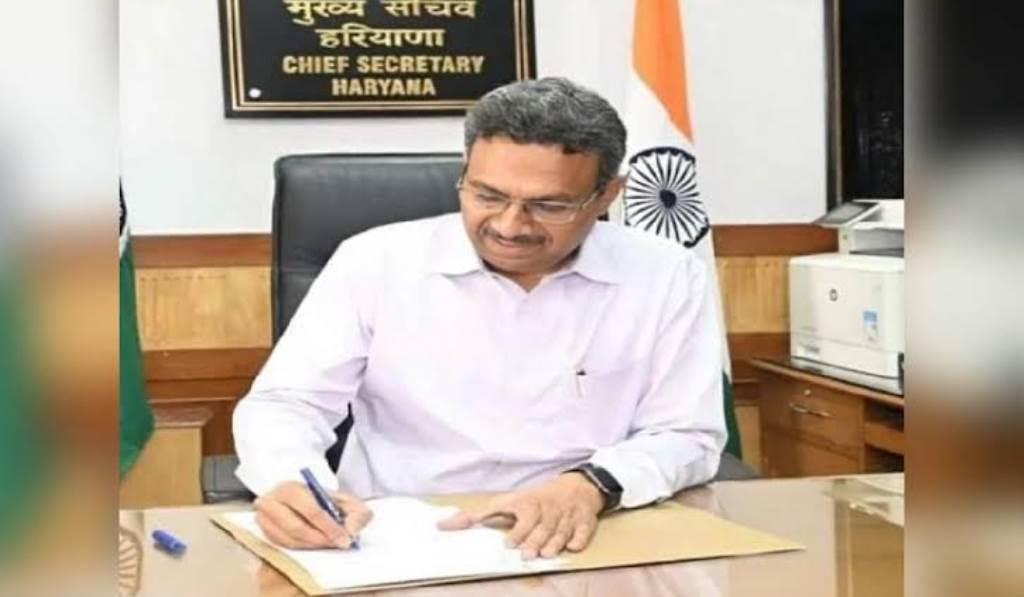
Chief Secretary Mr. Anurag Rastogi today chaired a meeting of the Board of Directors of Drone Imaging and Information Services of Haryana (Drishya) here and reviewed the progress of various technological projects and directed the officials to implement them at the earliest, so that evidence-based good governance, regulatory implementation and public service delivery can be made more effective.
The meeting also reviewed the progress of A.I. based Change Detection Application. This application has been developed to automatically identify illegal constructions and encroachments through high-resolution drone imagery. Under this, a digital map of about 800 sq km area has been prepared in Faridabad, Hisar, Karnal, Panipat and Yamunanagar, thereby creating the largest geospatial database in the state for urban planning, monitoring and law enforcement. The Chief Secretary also reviewed the digital mapping work of Municipal Corporation properties being done by 'Drishya' in Gurugram.
Shri J. Ganesan, Commissioner and Secretary, CRID, informed that under this project, the road network, footpaths, central verges and berms have been digitized. Apart from this, about 60 thousand manholes and street traps are being geo-referencing with centimeter level accuracy. This will make the management of urban infrastructure, maintenance planning and emergency response system more effective.
The meeting also reviewed the drone-based monthly monitoring in Khanak Stone Mines. Officials said that eight phases of drone survey have been completed so far and volumetric assessment reports of six phases have been prepared. This initiative has made it possible to scientifically monitor mining activities and accurately estimate the actual volume of excavation through advanced geospatial analysis. Apart from this, drone-based volumetric assessment of legacy waste sites under Swachh Bharat Mission-Urban 2.0 was also reviewed.
Mr. J. Ganesan informed that the survey has been completed in 16 Nagar Parishads of the state and the report has been submitted to the concerned officials, which will improve the scientific treatment of old waste sites and landfill management.
The meeting also reviewed the progress of drone survey, thermal imaging and videography of major drains for the Haryana State Pollution Control Board. The objective of this project is to identify illegal sewage discharge points, monitor pollution sensitive areas and ensure effective action on environmental violations. Survey of several major drains has been completed, while work is in progress in the remaining areas.
Shri J. Ganesan said that in all these projects, state-of-the-art technologies like Differential Global Positioning System (DGPS), Continuously Operating Reference Station (CORS) network of Survey of India, high resolution RGB drones and special geospatial processing software are being used. These technologies are achieving centimeter level accuracy for government projects.
Chief Secretary Shri Anurag Rastogi said that the widespread use of drones and geospatial technology in the governance system will increase transparency, make regulatory oversight more effective and strengthen the data-based decision-making process. He directed all the departments to complete the ongoing projects within the stipulated time frame, so that the data and analysis obtained from drones can be made an integral part of urban management, environmental monitoring and administration.
The meeting was attended by Mr. Phool Kumar Singh, CEO of ‘Drishya’ and other senior officials.